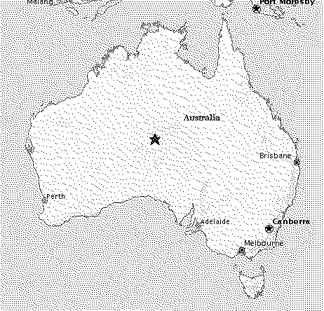
STEP 1
Start with a map of the Australian mainland.
STEP 2
Choose the length of the measuring stick that you will use.
STEP 3
Start from an arbitrary point on the coastline. In the picture, I have chosen to start from Perth.
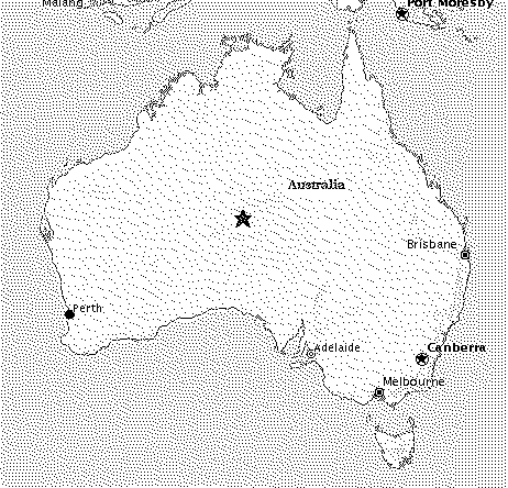
STEP 4
From your starting point, use your measuring stick to find the `closest' point on the coastline in a clockwise direction. Keep going until you almost reach the point from which you started.
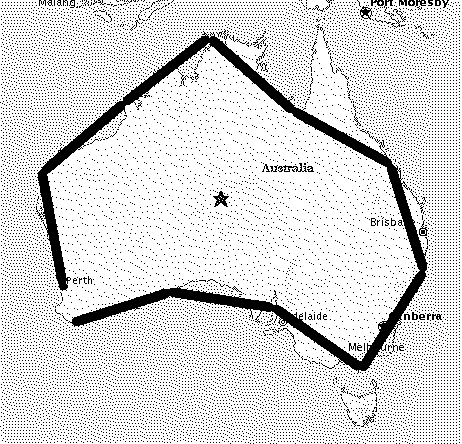
STEP 5
Measure the remaining distance to your starting point. After you count up the number of times you have used your measuring stick, you can estimate the length of the coastline (on this map) in the following way:
Approximate coastline length = (length of measuring stick X number of times used) + remaining distance
STEP 6
Repeat Steps 2 - 5 with a number of measuring sticks of differing lengths.
Tabulate your results.
THINGS TO THINK ABOUT
1. Can you see a relationship between the length of the coastline and
the length of the measuring stick?
2. What would you expect if you used a really small measuring stick?
How does this compare to the Koch snowflake?
3. What problems would you have measuring the real coastline of the
mainland of Australia?
4. Does it make sense to measure the length of a coastline with a 30
cm ruler?
This page is maintained by James Ong.
Last edited: 1 October 2002